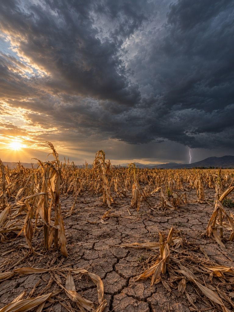
Drought doesn’t begin and end with a lack of rain.
This Fondecyt project studies how it moves from the weather to agriculture, rivers and the economy in central Chile, and how soil, vegetation and water use shape that path. The goal is to improve how drought is forecast and managed.
A drought that spreads
Drought starts as a meteorological event, when there is less rain than usual. Over time, its effects spread to crops, rivers and water reserves, and eventually to people and the economy. This process is known as drought propagation, and understanding it is key to anticipating its impacts.
What shapes its path
Not every area responds to drought the same way. Soil properties, vegetation types and the way we withdraw and allocate water can ease or intensify how drought spreads. The project examines these factors with a focus on the agricultural regions of central Chile, where the impact of drought is especially significant.
How we study it
The team will combine field measurements, remote sensing and modeling techniques to produce maps showing where the land is most vulnerable to drought. It will also develop methods to track drought from the weather to the economy and evaluate different models to improve forecasting.
Open knowledge
The results will be available to everyone. The maps will be shared in public repositories, and the code and models developed will be freely available on GitHub, so other researchers can use and build on this work.
What we hope to achieve
We expect to better understand how soil, vegetation and human water use shape drought in Chile. The results will be presented in three peer-reviewed publications and will support more targeted, evidence-based water management strategies and adaptation policies.
Do Soil, Vegetation and Water Allocations Influence Drought Propagation and Forecasting Performance?